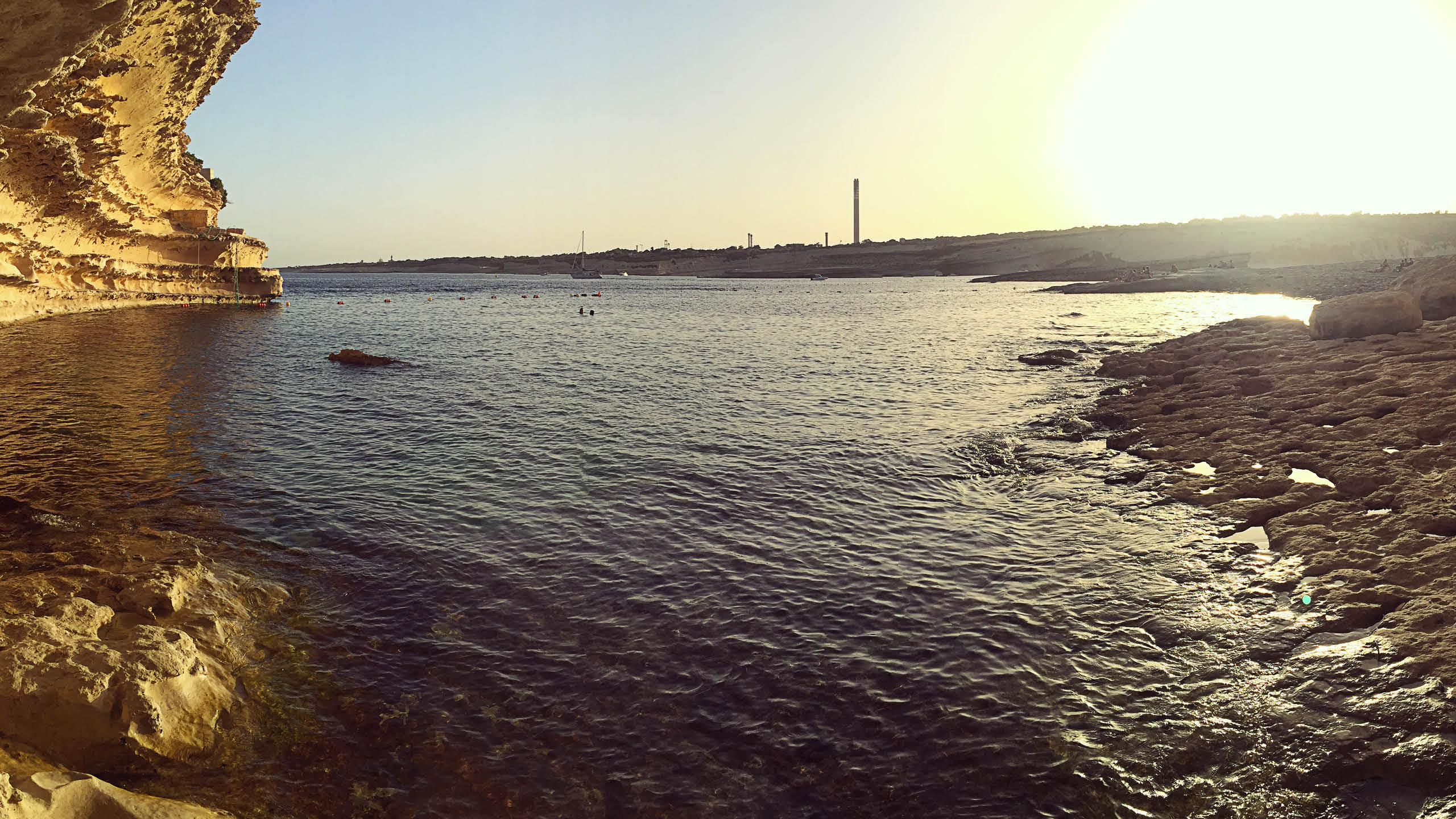
Xrobb l-Għaġin is the far end of the Delimara peninsula. The land stops in a low cliff and the rock steps down into deep water. A neolithic temple stood on the headland until much of it fell into the sea, and the ground around it is now a nature park.
The swimming is off the rock with nothing at all provided. The shore is open from the north-east round to the south. That covers most of the weather this coast gets, so come on a calm day. Getting here means driving to the end of the road and then walking.
Which winds this bay can take
It is sheltered from the south-south-west round to the north-west. There is no open water on those bearings for a wind to build a swell across. It is open to the north-north-east round to the south, where the sea runs for kilometres before it reaches this shore. A wind out of the north-north-west to the north has some water to work with but not the full run.
- NPart open
- NNEOpen sea
- NEOpen sea
- ENEOpen sea
- EOpen sea
- ESEOpen sea
- SEOpen sea
- SSEOpen sea
- SOpen sea
- SSWSheltered
- SWSheltered
- WSWSheltered
- WSheltered
- WNWSheltered
- NWSheltered
- NNWPart open
Measured as metres of open water on each bearing out from the shore. This is the bay’s own geography and it does not change; whether it is swimmable this afternoon is the reading at the top of the page, which also weighs how hard the wind is actually blowing.
What is there
- Boat Friendly
- BBQ's allowed
- Wifi
- Sunbeds available
- Food
- Drinks
- Umbrella
Struck through means it is not there. Facilities at a Maltese bay are seasonal more often than not, so treat summer as the best case.