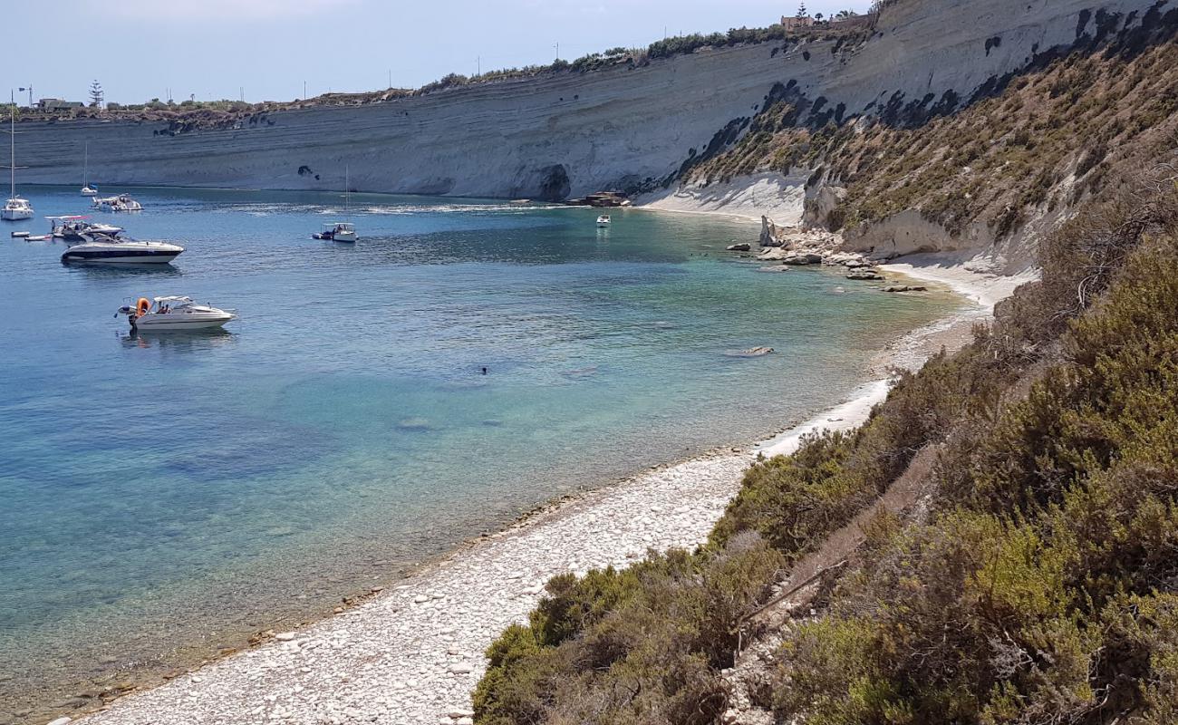
The name means the three hollows. There are three linked pools worn into the flat rock of the Delimara coast, with the open sea at the edge of them. The water is deep as soon as you are past the rim.
It is a walk from the nearest parking and there is nothing at all when you get there. Snorkellers favour it because the rock underwater is full of holes and channels. Anything from the east-south-east round to the south puts a surge through the pools, and on those days they are not safe to swim in.
Which winds this bay can take
It is sheltered from the north-west round to the east. There is no open water on those bearings for a wind to build a swell across. It is open to the east-south-east round to the south, where the sea runs for kilometres before it reaches this shore. A wind out of the south-south-west round to the west-north-west has some water to work with but not the full run.
- NSheltered
- NNESheltered
- NESheltered
- ENESheltered
- ESheltered
- ESEOpen sea
- SEOpen sea
- SSEOpen sea
- SOpen sea
- SSWPart open
- SWPart open
- WSWPart open
- WPart open
- WNWPart open
- NWSheltered
- NNWSheltered
Measured as metres of open water on each bearing out from the shore. This is the bay’s own geography and it does not change; whether it is swimmable this afternoon is the reading at the top of the page, which also weighs how hard the wind is actually blowing.