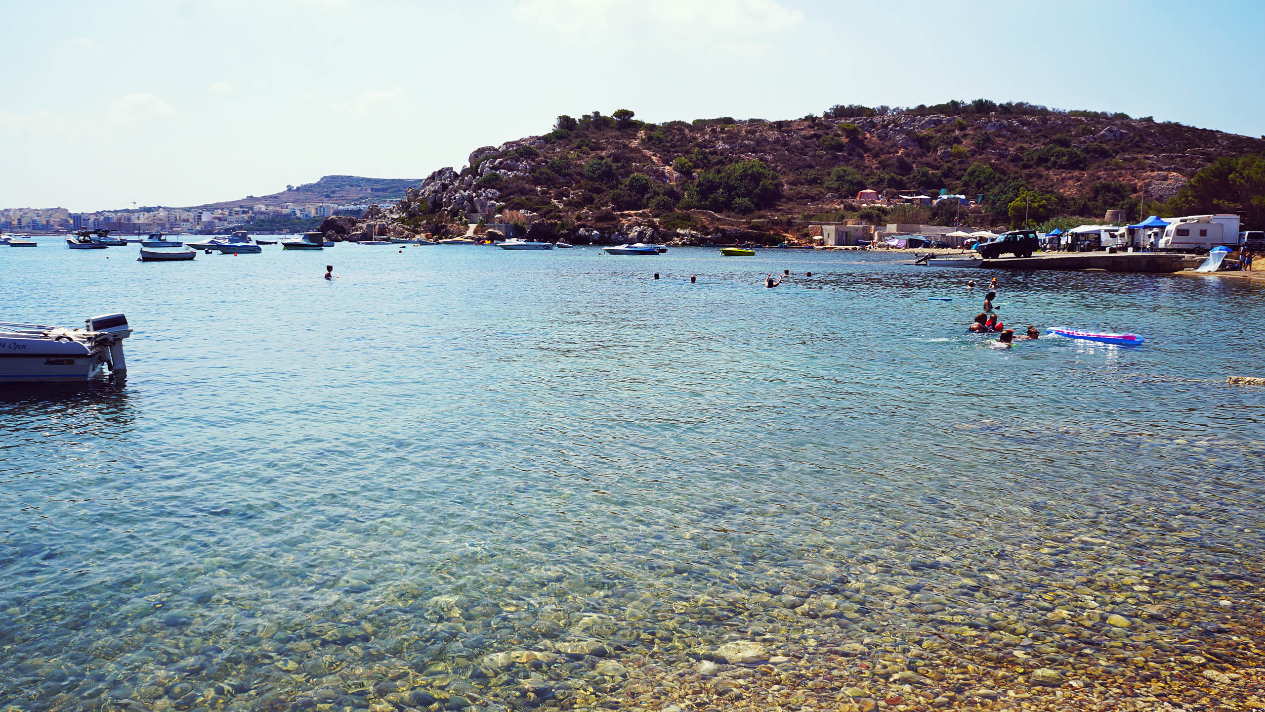
Mistra sits at the head of a long inlet below Xemxija. It is more of an anchorage than a beach. There is pebble at the water’s edge, boats moored offshore and a valley of fields running inland behind it. The shape of the inlet means almost nothing reaches it, so it stays flat when most of the north coast is not.
There is space to park at the end of the road and very little else. The path along the northern side leads towards Selmun and eventually to Imġiebaħ, and it is a good walk in the cooler months.
Which winds this bay can take
It is sheltered from the south-south-east round to the east. There is no open water on those bearings for a wind to build a swell across. A wind out of the east-south-east to the south-east has some water to work with but not the full run.
- NSheltered
- NNESheltered
- NESheltered
- ENESheltered
- ESheltered
- ESEPart open
- SEPart open
- SSESheltered
- SSheltered
- SSWSheltered
- SWSheltered
- WSWSheltered
- WSheltered
- WNWSheltered
- NWSheltered
- NNWSheltered
Measured as metres of open water on each bearing out from the shore. This is the bay’s own geography and it does not change; whether it is swimmable this afternoon is the reading at the top of the page, which also weighs how hard the wind is actually blowing.
What is there
- Parking
- Boat Friendly
- BBQ's allowed
- Wifi
- Sunbeds available
- Food
- Drinks
- Umbrella
Struck through means it is not there. Facilities at a Maltese bay are seasonal more often than not, so treat summer as the best case.