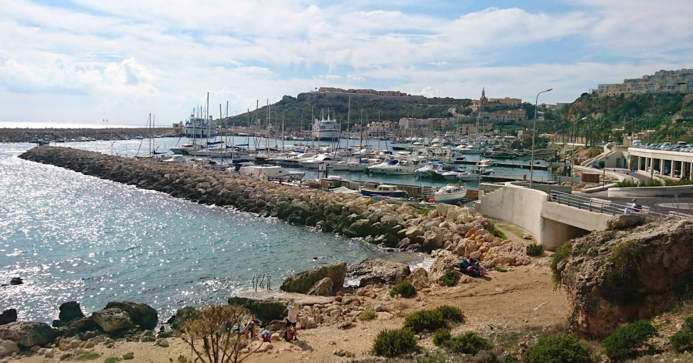
This is one of the small bays below Qala that most visitors never find. The track down is unsigned and you park wherever it widens.
The shore is rock with a little sand at the head of it and the entry is off the rock rather than a walk-in. Nothing is provided and nothing is likely to be. It suits an evening swim once the ferry queue at Mġarr has died down. It is a short drive from Ħondoq ir-Rummien if that bay is full.
You will want a car for this oneThe bus does not come close, and the last stretch is a track rather than a road.
Compare car hire →
Which winds this bay can take
It is sheltered from the south-south-west and the west round to the east. There is no open water on those bearings for a wind to build a swell across. It is open to the south, where the sea runs for kilometres before it reaches this shore. A wind out of the east-south-east round to the south-south-east and the south-west to the west-south-west has some water to work with but not the full run.
- NSheltered
- NNESheltered
- NESheltered
- ENESheltered
- ESheltered
- ESEPart open
- SEPart open
- SSEPart open
- SOpen sea
- SSWSheltered
- SWPart open
- WSWPart open
- WSheltered
- WNWSheltered
- NWSheltered
- NNWSheltered
Measured as metres of open water on each bearing out from the shore. This is the bay’s own geography and it does not change; whether it is swimmable this afternoon is the reading at the top of the page, which also weighs how hard the wind is actually blowing.