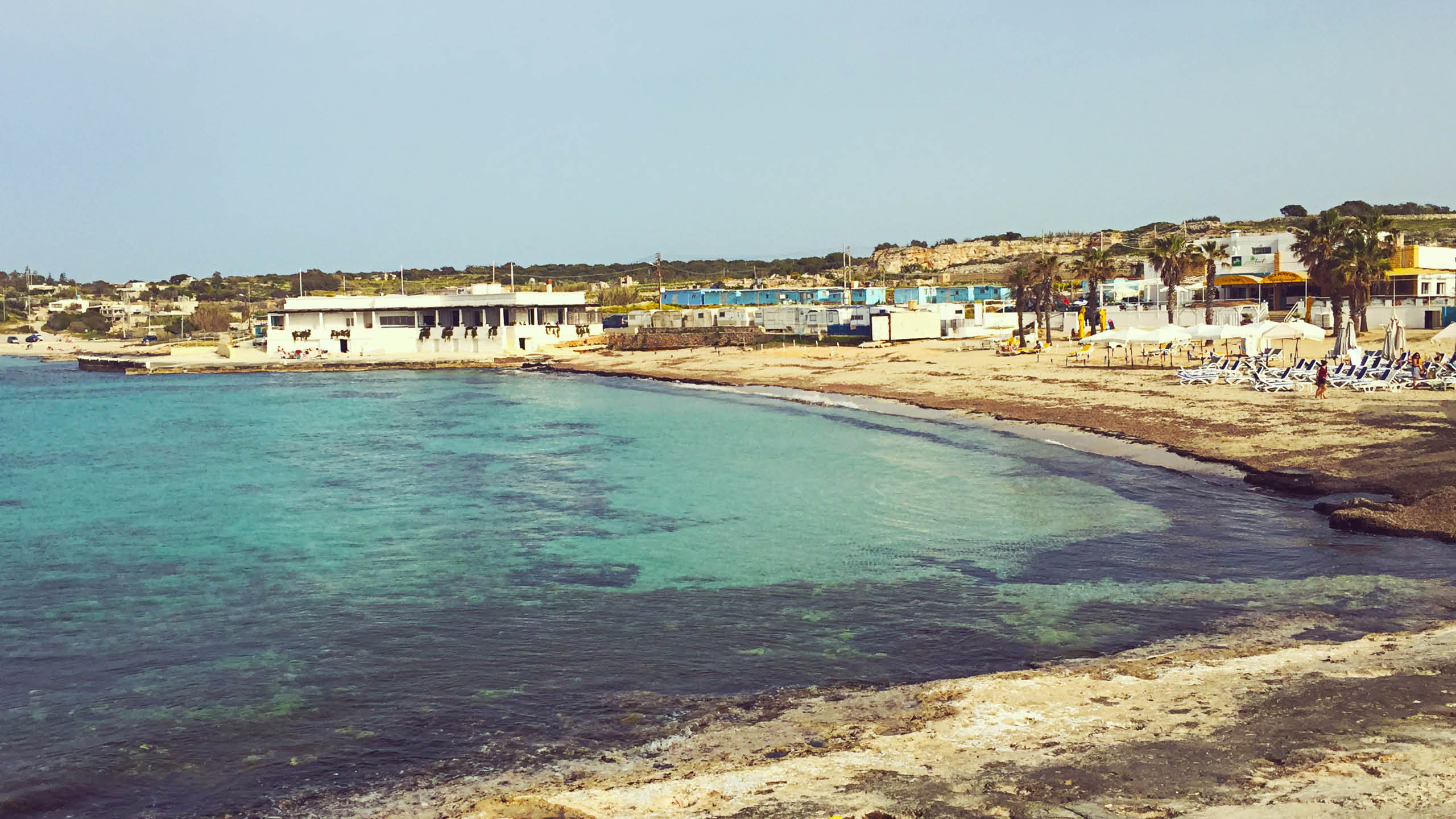
This is a rocky inlet on the north side of the Marfa ridge, between Armier and Ramlet il-Qortin. You reach it down a rough track. There is no sand and nothing built here.
Swimming is off the rock into deep water and the clarity is excellent, because nothing much disturbs it. The inlet faces north-east, so it is only worth the drive when the wind sits somewhere in the southern half of the compass. Anything you need has to come with you, shade included.
You will want a car for this oneThe bus does not come close, and the last stretch is a track rather than a road.
Compare car hire →
Which winds this bay can take
It is sheltered from the north-north-east and the east round to the west-north-west. There is no open water on those bearings for a wind to build a swell across. It is open to the north-east to the east-north-east and the north-north-west to the north, where the sea runs for kilometres before it reaches this shore. A wind out of the north-west has some water to work with but not the full run.
- NOpen sea
- NNESheltered
- NEOpen sea
- ENEOpen sea
- ESheltered
- ESESheltered
- SESheltered
- SSESheltered
- SSheltered
- SSWSheltered
- SWSheltered
- WSWSheltered
- WSheltered
- WNWSheltered
- NWPart open
- NNWOpen sea
Measured as metres of open water on each bearing out from the shore. This is the bay’s own geography and it does not change; whether it is swimmable this afternoon is the reading at the top of the page, which also weighs how hard the wind is actually blowing.