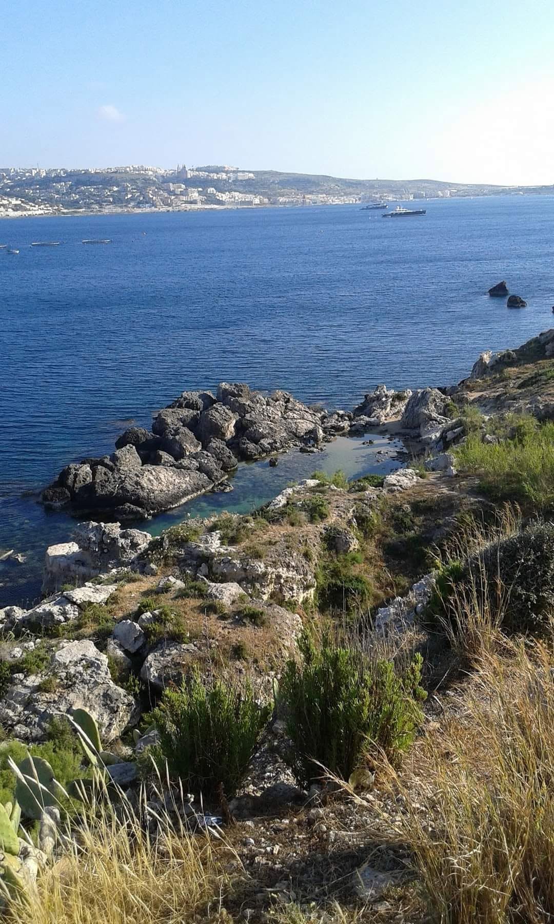
Another of the small rocky coves along the north side of the Marfa ridge, this one between Armier and Ramla tal-Bir. There is no road to the water and the last part is done on foot over uneven limestone.
Swimming is off a ledge into deep water and there is nothing else here at all. The cove is open to the east, so it works best when the wind has some west in it. On the right day it is empty, ten minutes from bays that are not.
Which winds this bay can take
It is sheltered from the west-south-west round to the north-east. There is no open water on those bearings for a wind to build a swell across. It is open to the east-north-east round to the east-south-east, where the sea runs for kilometres before it reaches this shore. A wind out of the south-east round to the south-west has some water to work with but not the full run.
- NSheltered
- NNESheltered
- NESheltered
- ENEOpen sea
- EOpen sea
- ESEOpen sea
- SEPart open
- SSEPart open
- SPart open
- SSWPart open
- SWPart open
- WSWSheltered
- WSheltered
- WNWSheltered
- NWSheltered
- NNWSheltered
Measured as metres of open water on each bearing out from the shore. This is the bay’s own geography and it does not change; whether it is swimmable this afternoon is the reading at the top of the page, which also weighs how hard the wind is actually blowing.