Valletta was not a town that grew. It was drawn on paper and built on an empty rocky peninsula, starting in 1566, the year after the Great Siege ended.
Why that ridge
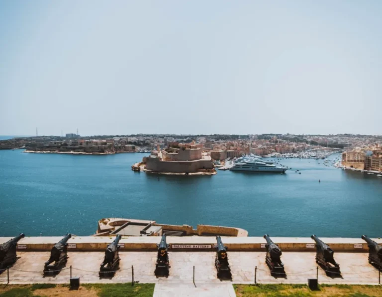
The Ottomans had used Mount Sciberras, the ridge between the two harbours, to fire down on the Knights during the siege of 1565.
The lesson was obvious. Whoever held that ridge held both harbours.
So the Order built its city on it, and named it after Jean de Valette, the Grand Master who had held out through the siege.
The grid
Streets run straight, cross at right angles, and go from one side of the peninsula to the other.
That was deliberate. Straight streets let troops move quickly, and they let the sea air blow through in summer.
It also means you cannot really get lost. Walk downhill in any direction and you reach water.
The steps
The grid ignores the hill underneath it, so several streets become long flights of shallow steps.
Triq San Ġwann and the streets running down to the Marsamxett side are the steepest.
The story that the steps were built shallow so knights in armour could climb them is repeated everywhere. There is no good evidence for it.
Worth knowing if you have a pushchair or a bad knee: pick the streets that run along the ridge rather than across it.
How fast it went up
The main structure of the city was in place within about 15 years, which for the sixteenth century is very quick.
The Order was expecting the Ottomans to come back. They never did.
The engineer who laid out the plan, Francesco Laparelli, was sent by the Pope. His assistant Ġlormu Cassar took over and designed most of the buildings.
What to look for now
- The city is 900 by 630 metres. You can cross it on foot in about 20 minutes.
- The whole of Valletta is a UNESCO World Heritage Site.
- Around 5,000 people live inside the walls, far fewer than a century ago.