The sea around Malta is at its warmest in September, not in the middle of summer.
The air peaks in August and the water peaks about a month later.
If you are choosing when to come for the swimming, this is the month.
The water runs behind the air
Sea temperature lags roughly two months behind air temperature.
The coldest water of the year is around March, weeks after the coldest air. The warmest is around September.
It takes a very long time to heat or cool that volume of water. The sea is always catching up with the season rather than matching it.
In numbers, the water sits near 26–27°C in September and drops to about 15°C by March.
What that means in practice
September gives you warm water with the air a few degrees off the August peak.
The beaches are less crowded once schools go back, from about the third week.
Rooms come down in price at the same time.
For most people it is a better week than the middle of August, for the same swimming. There is more on when the heat breaks.
October is often better than June
June feels like summer and the water is still coming up from spring.
October feels like autumn and the water is still coming down from summer.
People are regularly surprised to find October warmer to swim in than June.
Most find it comfortable from about June to October, and from May well into November if they are used to colder water.
Maltese swimmers keep going all year. There are groups at Exiles and Fond Għadir in January.
Wind still decides where you swim
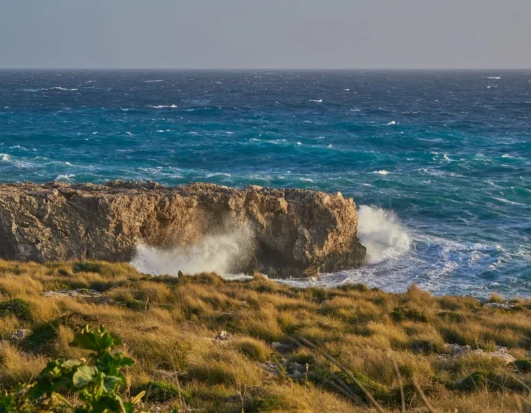
Temperature rarely stops you. Wind does.
It decides which side of the island is flat and which is unswimmable, and it changes day to day.
There is coast facing every direction here, so there is nearly always somewhere sheltered. See where to swim in a grigal and the four winds.
From September the northeasterly gets more common, which moves the answer from the north coast to the west and south.
Checking on the day
Live conditions are on the sea conditions tool, and the weather page shows wind direction next to the forecast.
Each bay page carries its own exposure figures, so you can see which winds it can take before you set off.