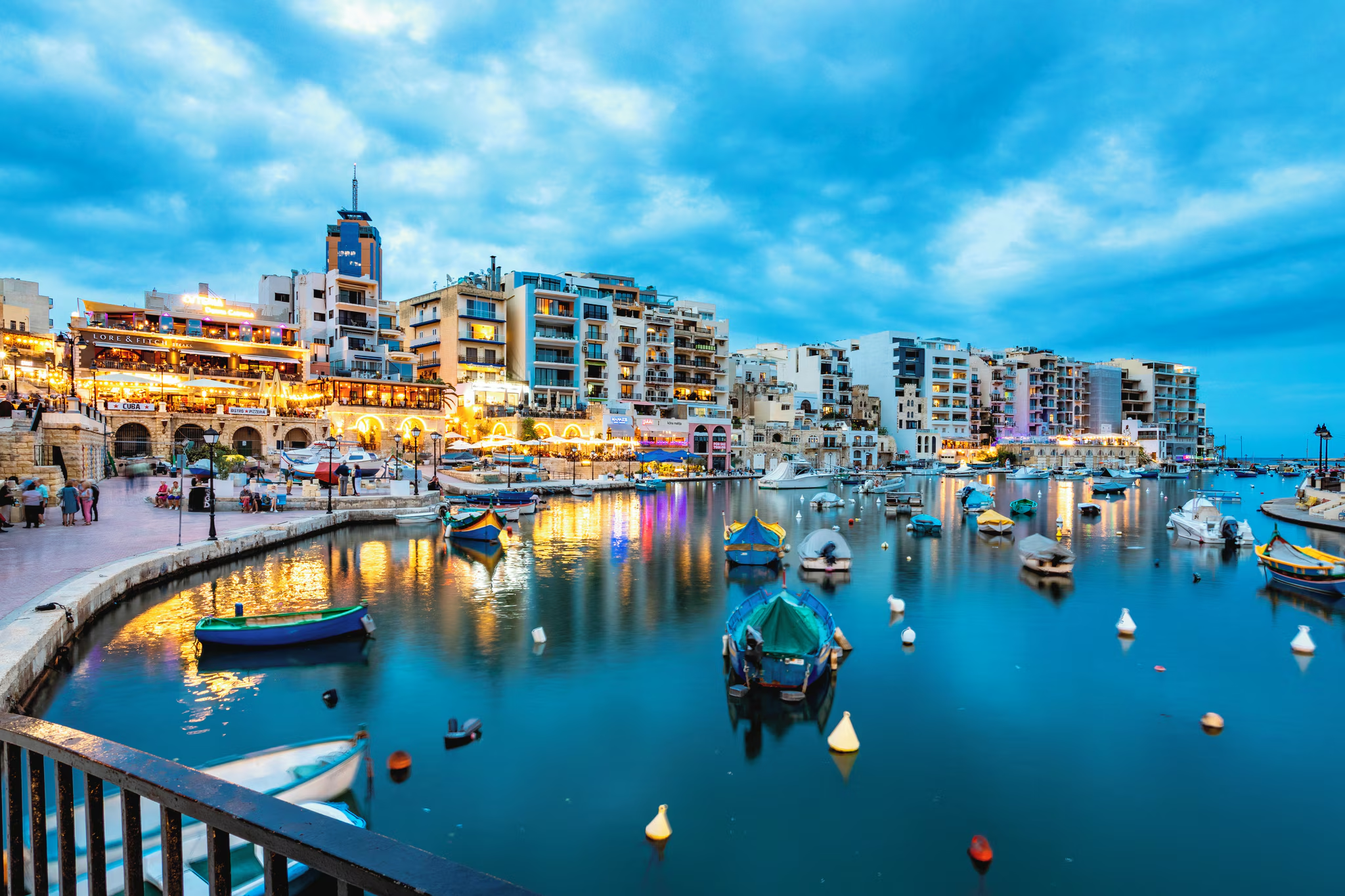
Spinola Bay is a working fishing harbour that a restaurant district grew around, and the luzzus moored in the middle give the front its appearance. Nobody swims in the bay itself.
The swimming is off the rocks at the mouth of it, past the last of the tables, where the water clears and deepens. Nothing is provided, because this is a promenade rather than a beach. Everything else is: food at almost any hour, buses along the coast road and the whole of St Julian’s behind you.
Which winds this bay can take
It is sheltered from the south-south-east round to the east. There is no open water on those bearings for a wind to build a swell across. A wind out of the east-south-east to the south-east has some water to work with but not the full run.
- NSheltered
- NNESheltered
- NESheltered
- ENESheltered
- ESheltered
- ESEPart open
- SEPart open
- SSESheltered
- SSheltered
- SSWSheltered
- SWSheltered
- WSWSheltered
- WSheltered
- WNWSheltered
- NWSheltered
- NNWSheltered
Measured as metres of open water on each bearing out from the shore. This is the bay’s own geography and it does not change; whether it is swimmable this afternoon is the reading at the top of the page, which also weighs how hard the wind is actually blowing.